Photos of the Province of Overijssel, the Netherlands

The Province of Overijssel
Overijssel (meaning "on the other side of the IJssel river") in the east of the Netherlands, was in ancient times known as Oversticht and included much of modern-day Drenthe. In 1336, it was made part of Guelders (presently Gelderland), but soon after, in 1347, ceded to the Bishopric of Utrecht and was known as het Sticht. In 1528 the Spanish King Charles V, as count of Holland, inherited the area: he styled himself "Lord of Overijssel", giving the province its modern name.
you may then send it as a postcard if you wish.
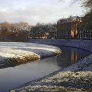
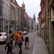
Overijssel has an area of 3,421 km² and over a million inhabitants. The province has mainly a sandy soil, traversed by rivers and streams. In the north west of the province there are polders and small lakes. The capital city of Overijssel is Zwolle, an old fortified city and its largest city is Enschede, on the border with Germany in the east.
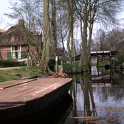
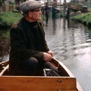
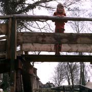
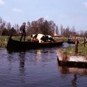
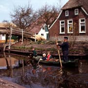
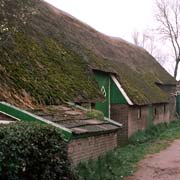
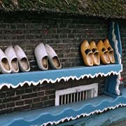
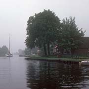
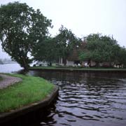
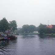
Overijssel has retained a lot of its customs and culture. Near the town of Steenwijk is the village of Giethoorn; sometimes called "the Venice of the North" as most traffic is by boat. It is built around a network of canals and people move around by "punter", a flat-bottomed boat propelled by a pole. To the north of Zwolle are the traditional Calvinist villages of Staphorst and Rouveen where the women still wear traditional dress. Overijssel shares a border with the provinces of Fryslân, Drenthe, Gelderland and Flevoland, while in the east, near its largest city, Enschede, it borders Germany.